When English settlers arrived in 1627, Barbados was densely forested. Within a few decades, almost all of it was cleared for sugarcane.
Sugarcane was the crop that shaped the island’s economy, landscape and society for the next three centuries. Today, over 90% of the island’s primary forest is gone.
The Scotland District, where Coco Hill sits, is different from the rest of the island. While most of Barbados is a flat coral limestone cap, erosion stripped that cap away here, exposing the older sedimentary rock beneath steep hills, gullies and unstable slopes that resisted the plantation grid. That geology is why fragments of older forest survived on these hillsides when it vanished everywhere else.
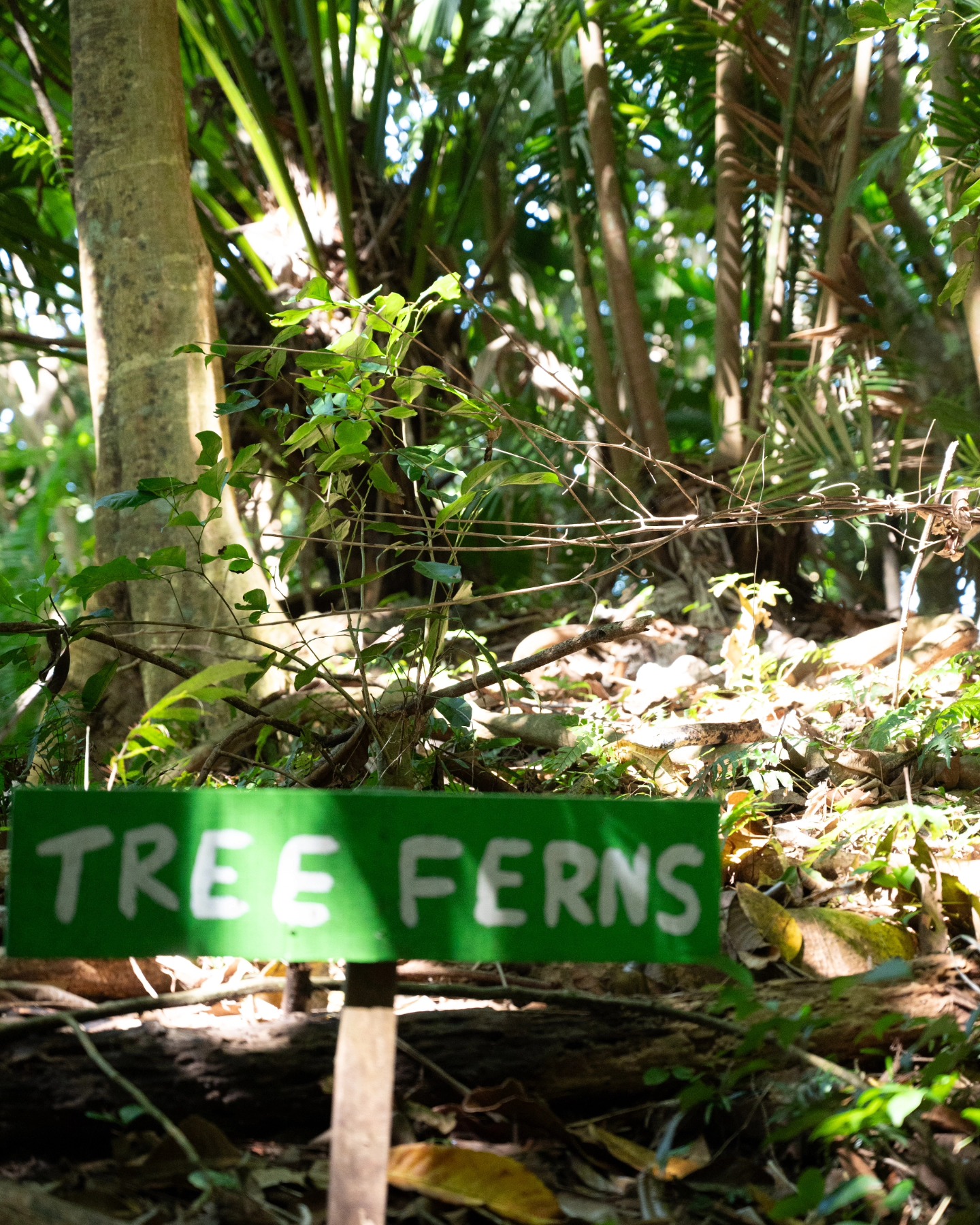
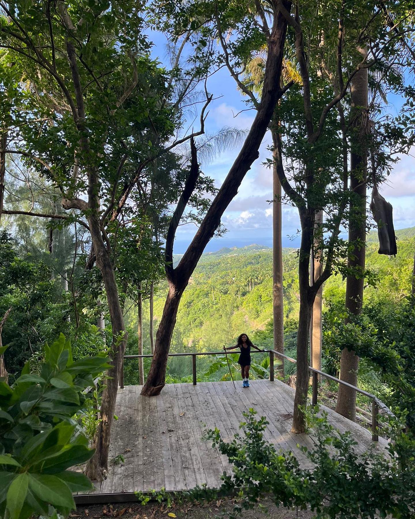
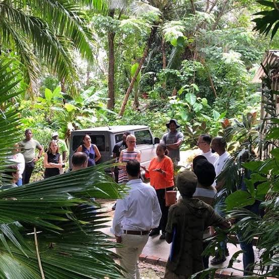
On Coco Hill’s east hill stands one of the last pieces of primary forest on the island. Protecting it and understanding what was lost around it is the heart of this project. Walking these trails is walking through both the pre-colonial landscape and the long shadow of the sugar era.